Samnaun Gruppe: Glockspitze
Die Glockspitze (2846 m) lässt sich gut mit einer Rundtour über drei Scharten verbinden. Von der Ascher Hütte folgt man zunächst dem Weg zur Kübelgrubenscharte, biegt dann aber auf halbem Weg nach rechts zur Glockscharte und der nahegelegenen Glockspitze ab. Über die Blankaseen, Urg Joch und Kübelgrubenscharte erreicht man nach 5,5 - 6,5 Stunden wieder die Ascher Hütte. Der Weg ist gut markiert führt jedoch oft über Geröll und Felsblöcke. Trittsicherheit ist erforderlich, bei Nässe kann es an manchen Stellen auch unangenehm rutschig werden.
The ascent of Glockspitze (2846 m) can easily be combined with a circle hike across three gaps. Starting at the Ascher Hut one first follows the path to Kübelgruben Gap and halfway up the gap turns right towards Glock Gap and the nearby summit of Glockspitze. Passing the Blanka Lakes, Urg- and Kübelgruben Gap one finally returns to the hut after 5.5 to 6.5 hours. The path is marked well but often leads across scree slopes and small boulders (especially below Glockspitze). Alpine experience and caution is necessary as some parts could be slippery in wet conditions.
 |
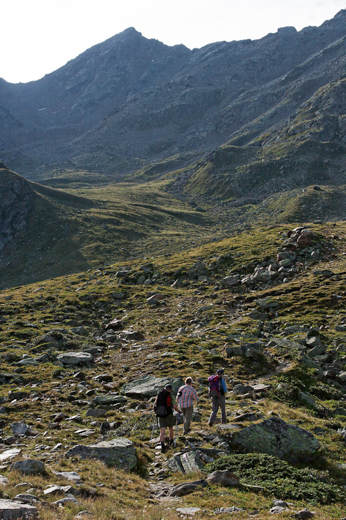
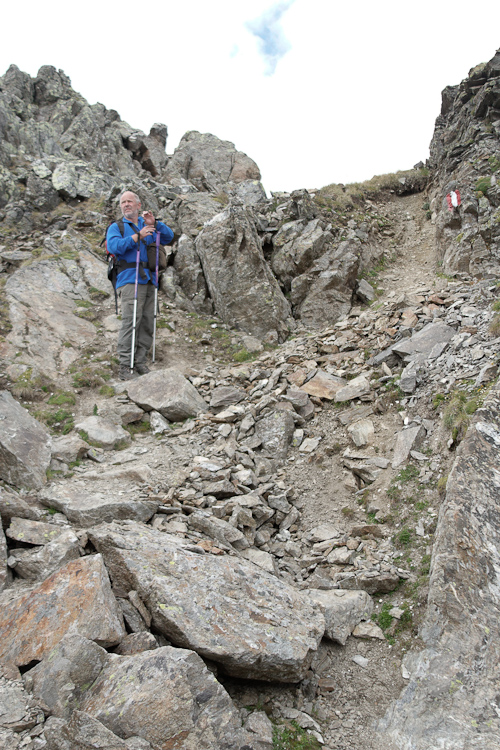
Von der Hütte folgten wir zunächst dem Weg zur Kübelgrubenscharte.
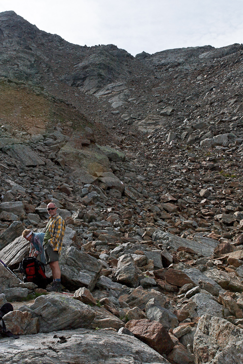
Auf etwa 2550 m verliessen wir den Weg in südlicher Richtung und stiegen über blockiges Geröll zur Glockscharte auf.
Der Weg ist zwar etwas mühsam, jedoch gut markiert.
First we followed the path to Kübelgruben Gap.At around 2550 m we left this path in southern direction and climbed up to Glock Gap across scree slopes and small boulders.The path however is a bit strenuous but well marked. |
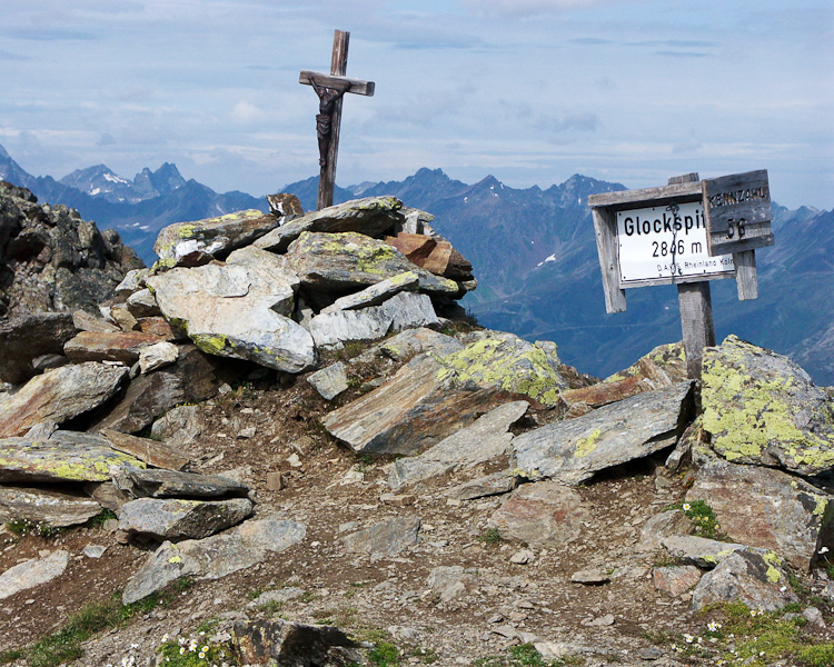 |
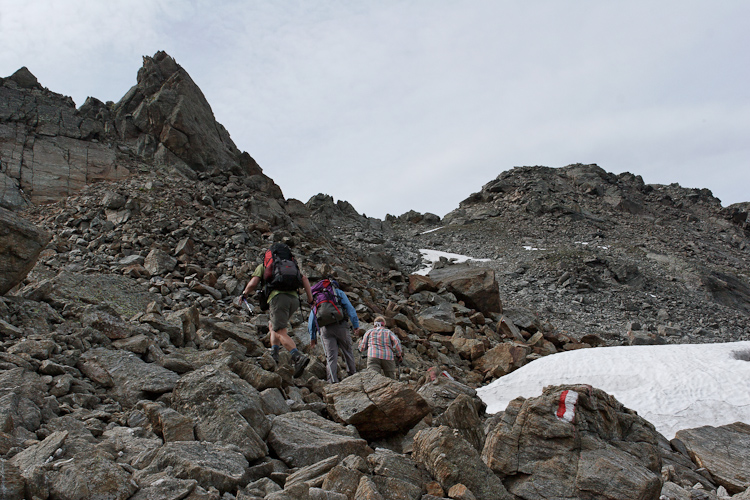
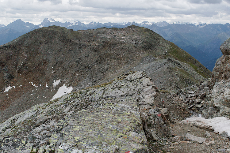
Der Gipfel der Glockspitze (2846 m) ist nur etwa 15 Minuten von der Glockscharte (2770 m) entfernt. The summit of Glockspitze (2846 m) is only 15 minutes away from the gap (2770 m). |
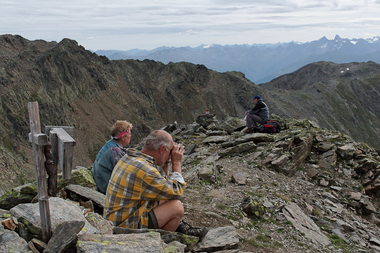
Auf dem Gipfel angekommen, wurden wir aus Richtung Serfaus erst einmal mit '...und jetzt alle...' empfangen. Wo genau die Lärmquelle war, liess sich jedoch auch mit dem Fernglas nicht erkennen. Gegenüber das Urgjoch, unser nächstes Ziel, das uns noch einen steilen Gegenanstieg bereithielt.
As we reached the summit we were welcomed with a sort of '...come on everybody...' from the Serfaus area but even with field glasses we were not able to locate the source of noise. Opposite the Urg Gap, our next aim, which offered us another steep ascent.

Am Gipfel der Glockspitze: Grosser und Kleiner Furgler, die Berge des Ferwall von der Kuchenspitze bis zum Riffler, daran anschliessend die Lechtaler Alpen mit der Parseier Spitze und abschliessend der Rotpleiskopf.
On top of Glockspitze: Grosser and Kleiner Furgler, the mountains of the Ferwall Range starting with Kuchenspitze up to Riffler, continuing to the right the Lechtal Range with Parseier Spitze and finally Rotpleiskopf.
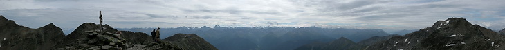

Nach Osten die Ötztaler Alpen mit Watzespitze und Wildspitze, rechts in Wolken die Berge der Ortler Gruppe.
To the east the Ötztal Range with Watzespitze and Wildspitze, right of it the cloud covered Ortler Range.

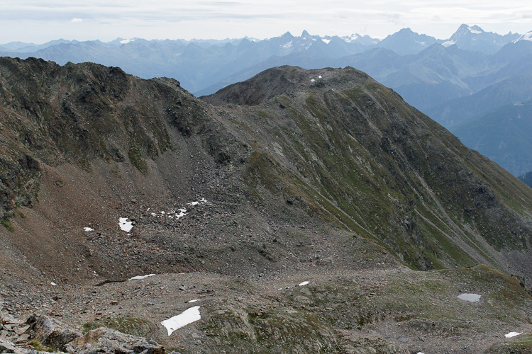
Ein Abstieg von 150 m führte uns hinunter zu den Blankaseen und wieder hinauf zum Urgjoch, dem nächsten Ziel.
About 150 m lower we passed the Blanka Lakes before we re-ascended to the Urg Gap.
 |
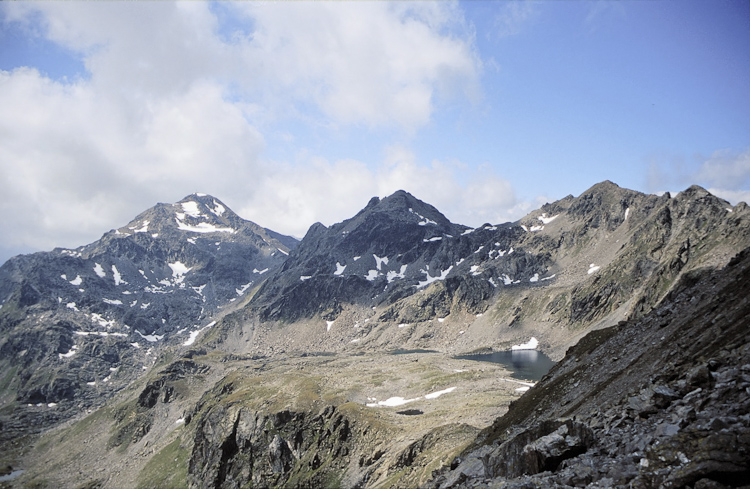
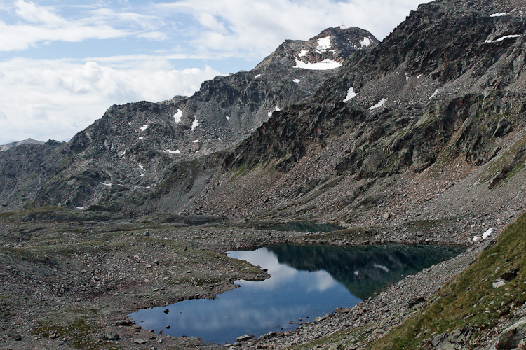
Furgler, Blankakopf und Blankaseen vom Urg Joch aus gesehen. Ein letzter kritischer Blick in Richtung unser musikalischen Wegbegleiter, und nach dem nächsten kurzen Anstieg war der Spuk dann endlich vorbei. Furgler, Blankakopf and Blanka Lakes seen from the Urg Gap. A final critical look back in direction of our musical companions. After the next short ascent the party was over at last. |
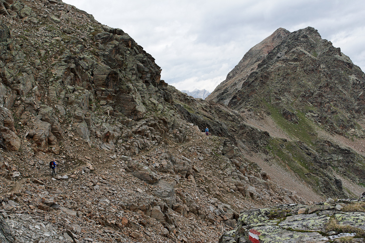
Der Weg führte jetzt nordostseitig um den Kübelgrubenkopf herum bis zur Kübelgrubenscharte (2770 m), von wo er wieder nach links hinunter zur Ascher Hütte führt. Wenn es nach den Plänen der Liftgesellschaften geht, wird hier in Zukunft eine Seilbahnstation die Skigebiete von See und Serfaus/Fiss/Ladis verbinden.
Below the north-eastern slopes of Kübelgrubenkopf we followed the path to Kübelgruben Gap (2770 m) from where we descended down to the Ascher Hut. If the plans of the companies who run the ski areas become reality this will be the place for the top of the cableway between See and Serfaus/Fiss/Ladis.