Zanskar: Shingo La - Barai Kade River - Darcha
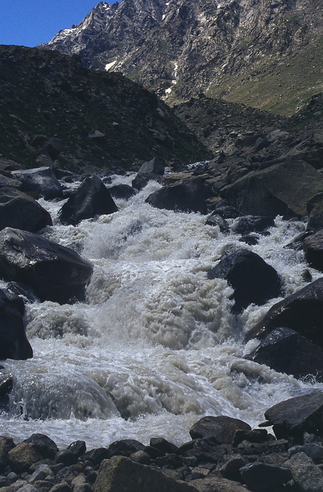
Noch einmal folgt eine fast 20 km lange Wanderung durch das Tal des Barai Kade Flusses hinaus nach Darcha. Darcha liegt an der Strasse zum Baralacha La, einem Pass der 1982 ausschliesslich dem Militär vorbehalten war und heute die direkteste Verbindung zwischen dem indischen Bundesstaat Himachal Pradesh und Leh darstellt.
We finished the trekking with another hike of nearly 20 kms along the Barai Kade valley to the bus at Darcha. Darcha is situated on the road to Leh via the Baralacha La which was only open for the military in 1982. Today it is the direct connection between Leh and the Indian state of Himachal Pradesh.
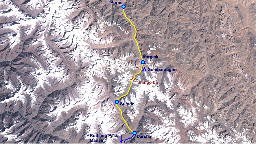 |
Karte/Map: Shingo La -> Darcha |
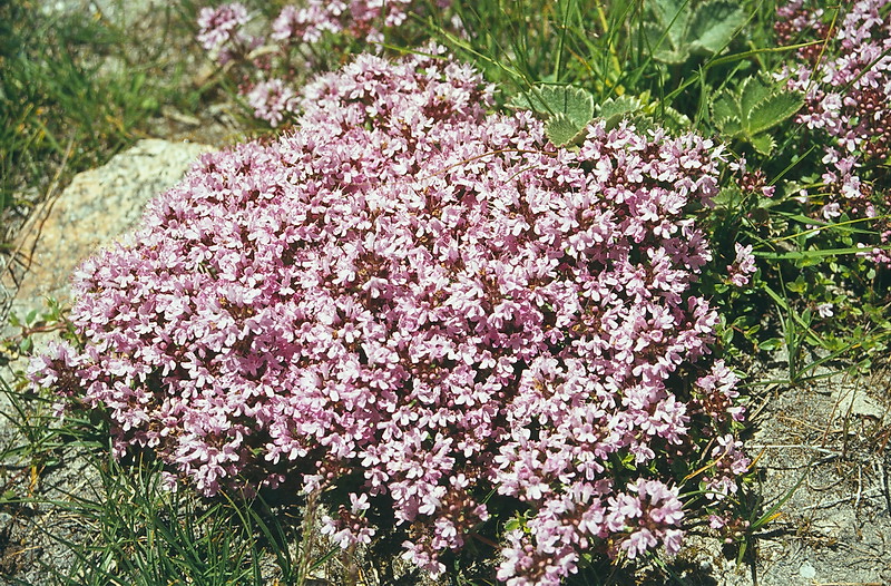
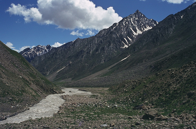

Die Landschaften erinnern sehr an die Alpen - sowohl vom Klima her als auch von der Flora.
The landscape is reminding very much of an alpine scenery regarding climate as well as flora.

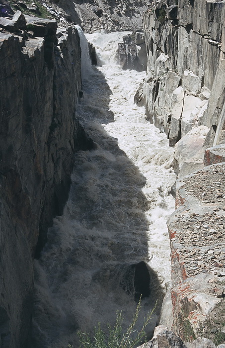
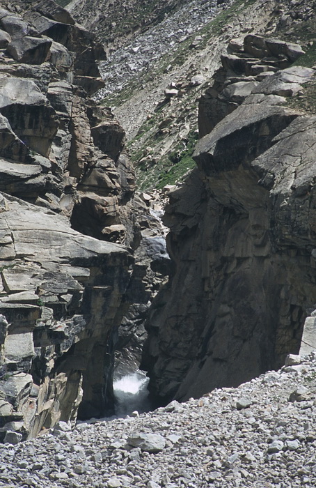
Ein Felsriegel zwingt den Barai Kade Fluss durch einew wilde Schlucht.
A rock barrier is forcing the Barai Kade river into a wild gorge.
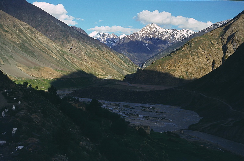
Kurz vor Darcha öffnet sich das Tal und man blickt südostwärts auf die Sechstausender von Lahoul.
Just before Darcha the valley was widening so we could catch a glimpse of the 6.000 m peaks of Lahoul.

 |
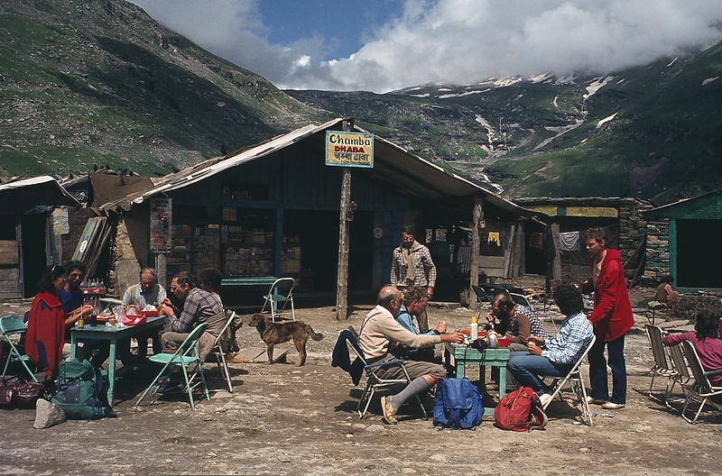
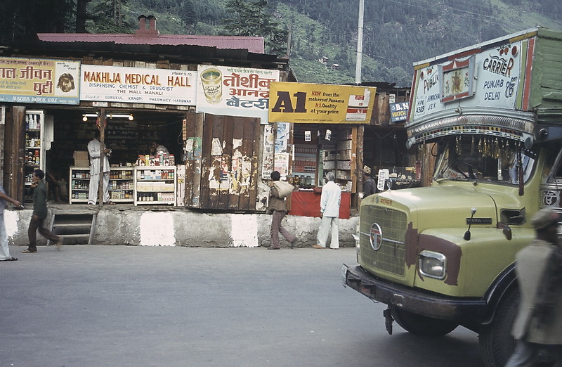
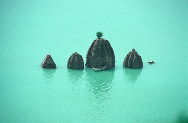
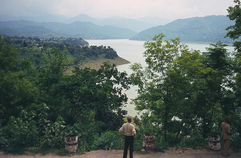
In Darcha endete unsere zweiwöchige Trekkingtour. Mit dem Bus fuhren wir zurück nach Manali und weiter nach Chandigarh über den 3900 m hohen Rothangpass und vorbei an Stauseen in den Vorbergen des Himalaya. Darcha was the endpoint of our two-week trek. From here we took the bus to Manali and further to Chandigarh passing the 3.900 m Rothang pass and the reservoirs of the Himalayan foothills. |