Hohe Kugel
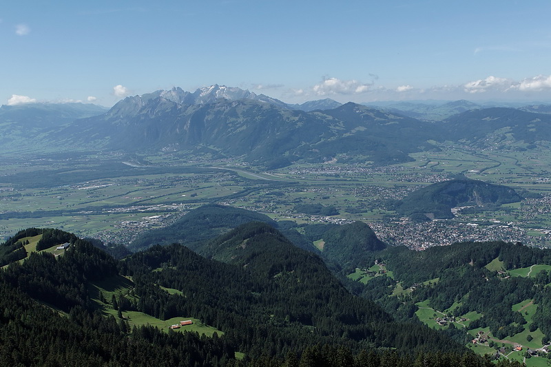
Gut zwei Stunden benötigt man für die knapp 600 Höhenmeter von Ebnit auf die Hohe Kugel (1645 m), einem aussichtsreichen Wandergipfel hoch über dem Rheintal. Wie es sich für eine Kugel gehört, ist der Blick nach allen Seiten frei und reicht vom Allgäu über Bregenzerwald, Silvretta und Montafon bis zu Tödi und Säntis in der Schweiz.
It takes at least two hours to climb the 600 meters of altitude from the village of Ebnit to the summit of Hohe Kugel (1645 m) a nice panorama peak high above the Rhine Valley. As one can expect from a ball (= Kugel) the view is free in all directions including the Allgäu and Bregenzerwald mountains, Silvretta, Montafon and finally Tödi and Säntis in Switzerland.
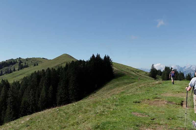
Ein teilweise steiler Fahrweg führt von Ebnit (1074 m) auf den Fluherecksattel (1275 m) und zum Naturfreundehaus Emser Hütte. Von dort benötigt man noch etwa eine Stunde, bis man über den Nordgrat den Gipfel der Hohen Kugel erreicht.
We started in the village of Ebnit (1074 m) following an unsurfaced and sometimes surprisingly steep road up to Fluhereck saddle (1275 m) and the Emser Hut. From there it is just a one hours' walk to the summit of Hohe Kugel via its north ridge.
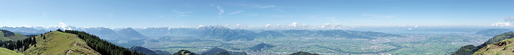
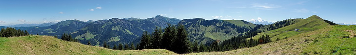
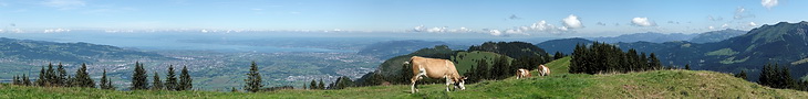
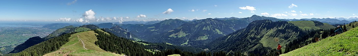
Das Panorama am Gipfelgrat der Hohen Kuge ist faszinierend und abwechslungsreich: von der Segelbooten auf dem Bodensee bis zu der Eisgipfeln der Tödi Gruppe.
The panorama on the summit ridge of Hohe Kugel is fascinating and varied: from the sailing boats on Lake Constance to the ice-covered peaks of the Tödi massif.
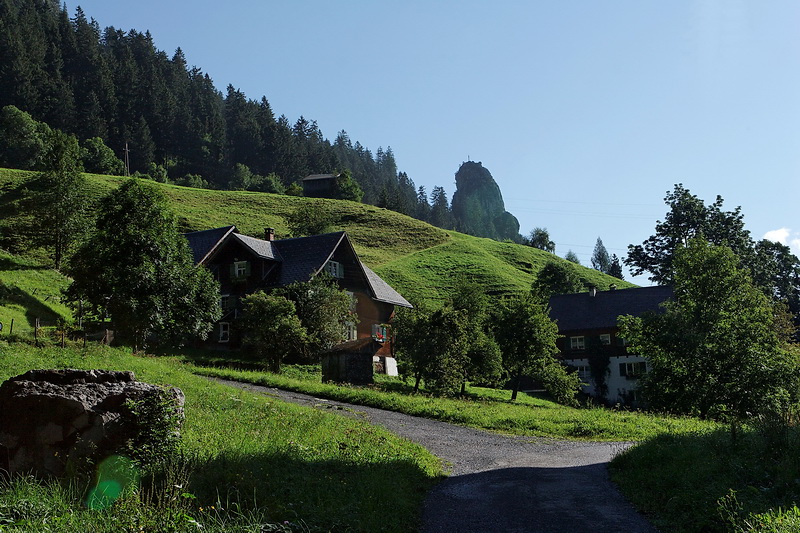
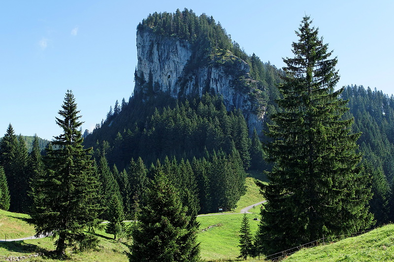
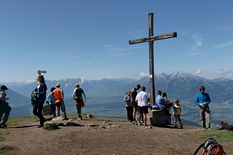
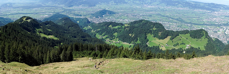
Über den Nordgrat ging wieder zurück nach Ebnit, das unterhalb der markanten Felszähne links der Bildmitte liegt.
After a long summit rest we descended the same route down to Ebnit which is located below the prominent rock walls left of the center.