Hoher Burgstall
Erste Station auf dem Stubaier Höhenweg ist die Starkenburger Hütte am nordseitigen Ausgang des Stubaitals. Man erreicht sie entweder zu Fuss von Fulpmes oder von der Bergstation der Gondelbahn Fulpmes - Kreuzjoch (ca. 1,5 Stunden). Ein lohnender Abstecher auf dem Weg zur Hütte ist die Besteigung des Hohen Burgstalls (2611 m), der einen hervorragenden Überblick auf die gesamte Rundtour bietet (ca. 2 Stunden vom Kreuzjoch).
The first stop on the Stubai Hike is Starkenburger Hut at the northern end of the Stubai Valley. One gets there either from Fulpmes or - more conveniently - from the top station of the cableway from Fulpmes to Kreuzjoch. (1.5 hours). In the latter case we recommend the additional ascent of Hoher Burgstall (2611 m) which gives an excellent impression of the whole round trip (2 hours from Kreuzjoch).
 |
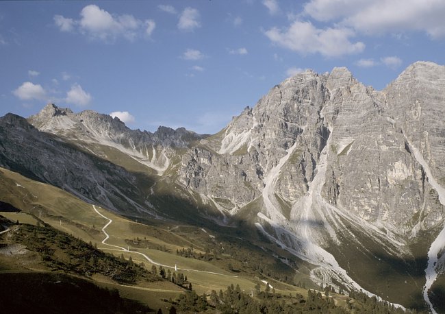
Unser erstes Ziel, der Hohe Burgstall (links), markiert das westliche Ende des Kalkkögelmassivs. Our first objective - Hoher Burgstall (left) - marks the western end of the Kalkkögel Massif.
|
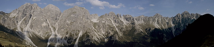
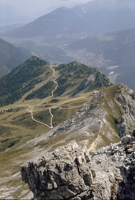
Den besten Blick auf die Kalkkögel hat man an der Bergstation der Seilbahn von Fulpmes.
The best view of the Kalkkögel massive is given at the top station of the cableway from Fulpmes.
 |
Unterhalb des Gipfel gabelt sich der Weg, der einfachere Anstieg führt nach links über die Südseite zum Gipfel. Beim Direktanstieg überquert man zunächst die Schuttkegel nach rechts und erreicht den Gipfel durch eine, mit Drahtseilen versicherte Rinne, wobei man hier besonders auf losgetretene Steine achten muss. Below the summit the path divides into an easier ascent to the left and the direct ascent via the debris covered east face which ends up in a groove belayed with wire cables. Climbing up the groove one should always be aware of possible stonefall caused by other climbers ahead. |
 |
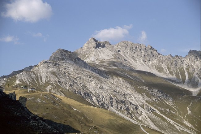
Der erste Blick auf Habicht, den Wilden Freiger und den Weg zur Starkenburger Hütte. The first view of Habicht, Wilder Freiger and the path that leads to the Starkenburger Hut. |
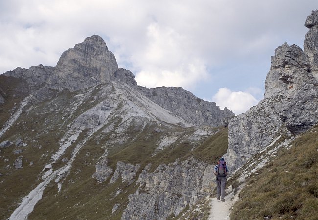 |
Kurz vor der Weggabelung der beiden Anstiege. Just before the fork where the different ascents divide. |
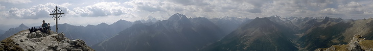
Bei schönem Wetter ein einzigartiges Panorama über die Zillertaler Alpen, die Berge des Gschnitztals, die Gletscher rund ums Zuckerhütl und der Franz Senn Hütte.
On clear days the summit panorama is covering the Zillertal Alps, the mountains of the Gschnitztal area as well as the glaciers around Zuckerhütl and the Franz Senn Hut.
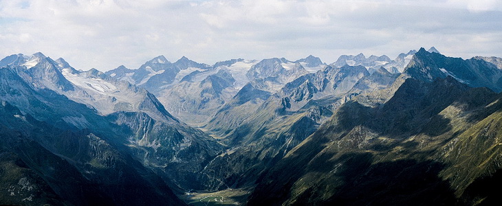
Gipfelblick nach Westen auf die Franz Senn Hütte (Bildmitte) und unser nächstes Tourengebiet.
Summit view in western direction which also shows our next goal, the area around the Franz Senn Hut (center).
 |
Blick zurück auf den Anstiegsweg. View back on the ascent route. |