Hochhädrich - Staufner Haus
Der Hochhädrich (1565 m) ist der westlichste Gipfel der Nagelfluhkette, über den auch die deutsch-österreichische Grenze verläuft. Der Anstieg auf seiner Westseite ist unproblematisch, da eine Strasse bis kurz unter den Gipfel führt. Der Abstieg in Richtung Falkenköpfe kann allerdings, vor allem bei Nässe gefährlich sein und verlangt Trittsicherheit.
Hochhaedrich is the westmost summit of the Nagelfluh Range and also the frontier between Germany and Austria. The ascent on its western flank is easy as a road leads up just below the summit. Descending down to the summits of Falkenköpfe can be tricky and even dangerous for example in wet or icy conditions. Sufficient alpine experience is a must on all the hikes in this area.
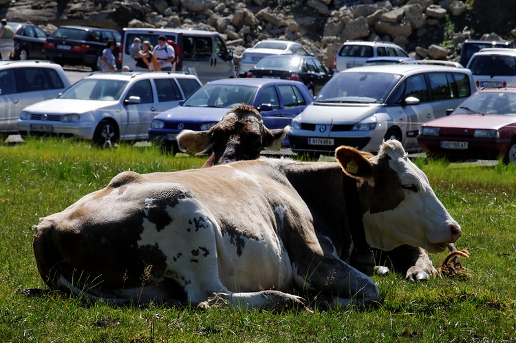 |
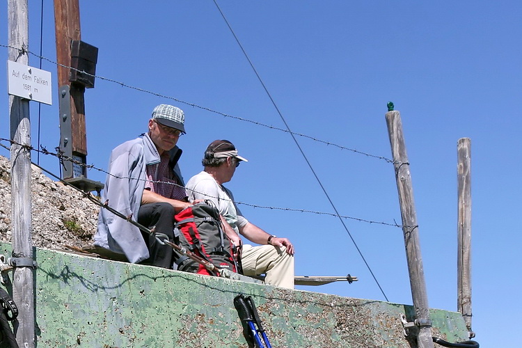
Am gebührenpflichtigen Parkplatz unterhalb des Almhotels Hochhädrich (1200 m) beginnen wir mit dem Aufstieg. We started the ascent at the parking place below the Hochhädrich Hotel (1200 m). |

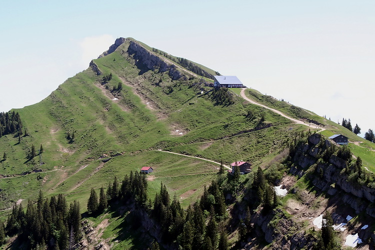
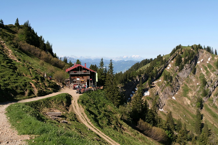
Eine breite Forststrasse führt über die Gehrenalpe in etwa einer Stunde zum Gasthof Hochhädrich kurz unterhalb des Gipfels. Hier kann man auch übernachten und den Sonnenuntergang über dem Bodensee geniessen.
A forestal road is used for the one hour ascent to the Hochhädrich Restaurant just below the summit. A nice place to stay overnight and watch the sunset behind Lake Constance.

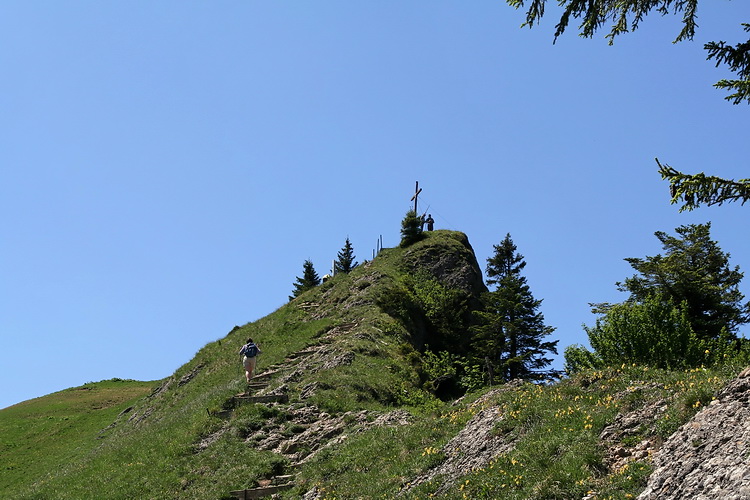
Der Gipfel des Hochhädrich (1565 m) ist der erste von vielen erstklassigen Aussichtspunkten auf dem Nagelfluhgrat.
The summit of Hochhaedrich (1565 m) is the first of many first class vantage points on the Nagelfluh Ridge.
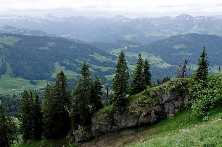
Ein Blick nach Norden zeigt den Verlauf unserer ersten Wanderung vom Imberghaus (rechts im Sattel) zum Kojenstein ganz links. Gut erkennbar das Kojenmoos im linken Teil des Bildes und das Hörmoos in der Bildmitte hinter dem Busch.
Looking down in northern direction we got a complete overview of our first hike from Imberghaus (in the saddle between Fluh and Imberg) to Kojenstein including Kojenmoos (left) and Hörmoos in the center behind the bush.

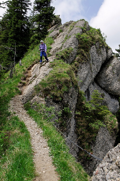
Zwischen Hädrich und Falken ist der Weg teilweise recht schmal und auch etwas ausgesetzt. Bei Nässe kann das runde Nagelfluhgestein auch gefährlich rutschig werden, dies gilt auch für die noch vorhandenen Schneefelder im Frühsommer.
Some parts of the path between Hädrich and Falken are rather narrow and exposed. In wet conditions the rounded Nagelfluh rock can also be dangerously slippery which is also the case on the remaining snowfields in early summer.
 |
Ein nicht alltäglicher Anblick: Maiglöckchen am Gipfelgrat. Not an everyday sight: Lilies of the valley on the summit ridge. |
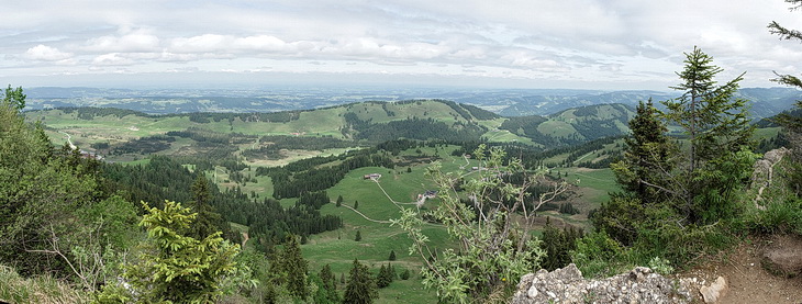
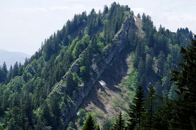
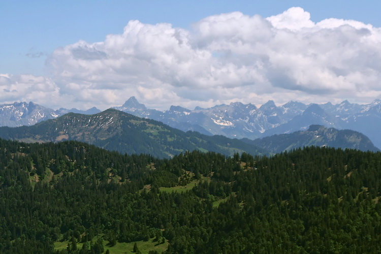
Weiter zieht sich die Nagelfluhkette in Richtung Hochgrat. Im Hintergrund erkennt man den Siplinger Kopf, das Riedberger Horn und den Hohen Ifen.
The ridge is continuing towards the summit of Hochgrat. Siplinger Kopf, Riedberger Horn and Hoher Ifen are some of the mountains in the background.
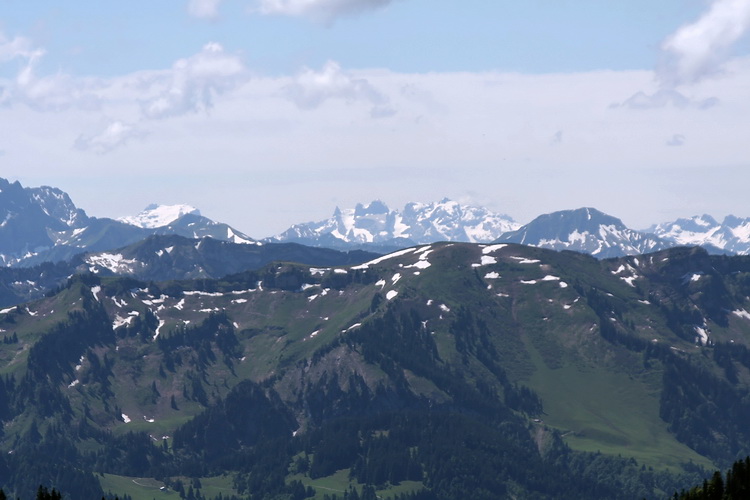
Der Gipfel des Falken besteht nur teilweise aus Nagelfluhgestein und ist nicht wirklich romantisch, aber bei klarem Wetter durchaus lohnenswert aufgrund seiner exzellenten Aussicht beispielsweise zum Hochvogel oder den Drei Türmen im Montafon.
The summit of Falken is only partly 'made of' Nagelfluh and not necessarily a romantic place but the excellent panorama is worth it as for example to Hochvogel or Drei Türme in Austria.

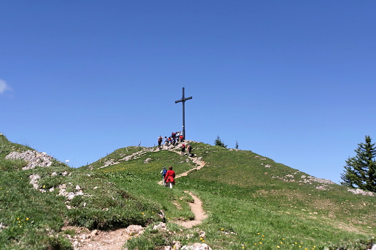
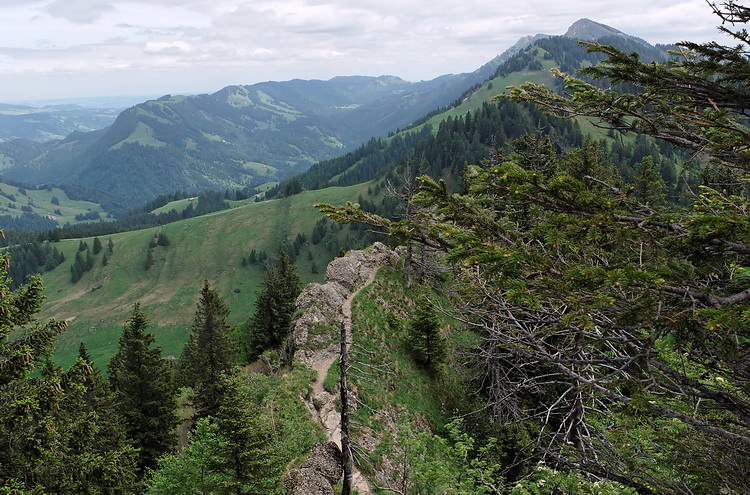
Weiter geht es den Grat entlang über kleine Felsstufen bis zum Seelekopf (1663 m), der letzten nennenswerten Erhebung vor dem Staufner Haus.
Following the ridge passed some rock steps until we reached Seelekopf (1663 m), the final summit before the Staufner Hut.
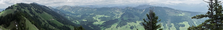
Direkt unter der Gipfelstation der Hochgratbahn liegt das Staufner Haus von dem man ebenfalls eine exzellente Aussicht geniesst (im Hintergrund das Alpsteinmassiv mit dem Säntis). Wer hier übernachten will, sollte sich allerdings unbedingt voranmelden.
The Staufner Hut is situated just below the top station of the Hochgrat cableway. An excellent place to stay overnight (reservation required) and enjoy the panorama as for example the Alpstein Massif in Switzerland (in the background).